With information from the National Weather Service Pacific River Forecast Center and the Fresh Eyes on Ice Project, current as of 7 am Monday, May 18.
The river level at Galena has been on a slow and steady decline. At 7 am Monday, the pilings gauge read 123.1 feet – a drop of 6 inches overnight, and a drop of 1 foot since 7 am Sunday. Minor flood stage for Galena technically begins at 124 feet, so Galena dropped below that mark on Sunday afternoon. The peak level observed at the pilings gauge was 125 feet, which occurred during late morning and early afternoon Friday May 15.
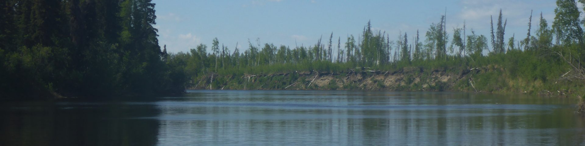
Ice density at Galena has fluctuated since Saturday, and some relatively fresh, clean intact small pans were coming down past Galena on Sunday, suggesting that there were still stretches of stranded ice between Galena and Ruby that did not move right away when the partial ice jam at Yuki started to disintegrate on Thursday afternoon.
Koyukuk has also experienced a 1 foot drop in river level from Sunday to Monday. Water was high enough over the weekend to prompt Koyukuk officials to request a precautionary evacuation of elders, women, children and people with special needs. High water has completely inundated several sites around Koyukuk including the ballfield, and water got up to or underneath most homes.
Nulato and Kaltag have also experienced seen water come overbanks and onto roads and property.
The National Weather Service still has the entire Middle Yukon area, including Galena, Koyukuk, Nulato and Kaltag, under a Flood Watch through Monday evening.
The National Weather Service has also issued a Flood Watch for the Lower Yukon and Innoko Valleys, including Grayling, Holy Cross, Shageluk, and Anvik, through Monday evening. High water may result in flooding of rivers, creeks, streams, and other low-lying and flood-prone locations. The lower Yukon breakup front at last report was downstream from Grayling. High water and runs of heavy ice from the Yuki River ice jam release has been causing rapid water level rises as it approaches communities. Water levels have already risen to a few inches above the road to the Grayling airport with additional rises expected as high water continues to move downstream towards Grayling.
Further downstream, Russian Mission has seen water rise on from Sunday to Monday with an ice jam apparently setting downstream of Russian Mission, causing the ice run to stop there. Water is overbank in several places there and people in flood prone areas have relocated to higher ground. Initial ice movement at Russian Mission was reported on Sunday morning.
Looking up the drainage, no additional pulses of snowmelt have been detected by the gauges at Manley or Nenana on the Tanana River, or Fort Yukon and Eagle on the upper Yukon.
At Ruby, levels have been slowly dropping over the weekend, and Kokrine Hills Bible Camp observed a drop from Saturday to Sunday, at the same time that intact ice sheets just upstream from Bible Camp that refused to move thus far in the breakup process finally got moving on Saturday night.
That concludes this breakup report for Monday, May 18, with information current as of 7 am.
