This is the spring breakup report, with information from the Alaska Pacific River Forecast Center and the Fresh Eyes on Ice Project, current as of 7 am Thursday, May 14th.
The National Weather Service continues to have a flood watch in effect for Galena until 10 pm today (Thursday), due to possible ice jam flooding. A flood watch means that conditions are present that could result in flooding. The partial ice jam at the Yuki started causing water and ice backup on Tuesday morning, and remained in place all day Wednesday. River Watch noticed more overbank flooding behind the jam on Wednesday compared to Tuesday. However, some water is getting through the jam and keeping Galena river levels stable between 115 and 114 feet on the pilings gauge since Tuesday night. The river level at Galena Thursday morning at 5:30 was 114.5 feet – down just under a foot compared to 5:30 am Wednesday.
There is a Flood Advisory in place for Ruby and campsites upstream of Ruby until 10 pm Thursday. River levels remained historically high at Ruby on Wednesday, and as of Thursday morning were just about a foot away from sending water across the picnic table and pavilion along Front Street, and water is encroaching on the road at the Dineega Fuel Depot. Levels at Ruby came down a bit between Tuesday night and Wednesday morning, then ice moved for a bit in the 11 o’clock hour Wednesday morning before stopping again. The river in front of Ruby is packed with jumbled chunk ice.
Major flooding is underway at Big Eddy camp upriver from Ruby, with the lower part of the camp under several feet of water and some buildings almost totally submerged. The high side of camp is still high and dry. These river levels are higher than those experienced in the 2023 flood.
The river is bankfull at Kokrine Hills Bible Camp as well, with a stuck ice sheet in place since Tuesday just upstream from camp on the north side of the river
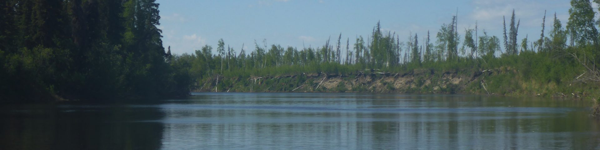
At Bishop Mountain late Wednesday, conditions were largely unchanged from the day before, with an ice sheet still in place on the upriver side of Bishop Mountain, but this sheet continues to shows signs of weakening and fracturing. The open water areas along the north bank upriver of Bishop toward Banana Lake are expanding, but river levels are still relatively low there, with sandbars exposed along the north side of the river. Long stretches of open water exist downstream of Bishop Mountain.
Nulato had a stretch of open water in front of the village on Wednesday, and open water visible upstream, but an intact but rotting ice sheet was still in place over much of the channel in front of Nulato.
Kaltag reported ice shifting on Wednesday.
The National Weather Service still has a Flood Warning in effect for the Yukon River at Stevens Village until Friday morning due to an ice jam. Early Wednesday morning, residents of Stevens Village reported a rapid 5 foot rise in water levels. While no homes were being inundated yet, water levels are expected to continue rising. While a cause was not reported, given the rapid rise in water levels, this flooding is likely being caused by an ice jam.
A surge in water accompanied a heavy run of bank to bank chunk ice at Rampart on Wednesday afternoon.
The National Weather Service has extended the Flood Watch for Fort Yukon through Thursday evening. Water levels in the Porcupine River are rising due to snowmelt which is pushing water into the Sucker River on the north and west sides of Fort Yukon. The Sucker River is starting to flow over low-lying roads near the NE end of the runway. Water levels could keep rising for several days as the snowmelt pulse in the Porcupine makes its way into the Yukon.
On the Koyukuk River, the ice jam on the Koyukuk River downstream of Hughes broke apart on Tuesday night, allowing water levels to fall back to near normal levels. Governor Dunleavy has declared a disaster for Hughes and state emergency assistance is available there. When River Watch flew the area midday Wednesday, the Koyukuk was nearly ice free for at least 20 miles downstream of Hughes as well as upstream of the village.
The River Forecast Center classifies the Yukon as open from Dawson to Fort Yukon, and the Tanana River is open along its entire length. River levels are stable according to the automated gauges at Manley, Nenana, and Eagle.
